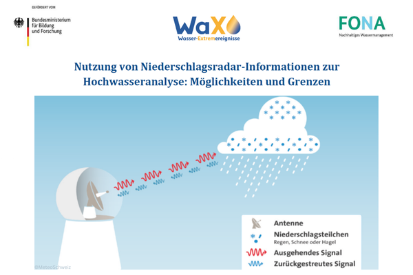
As part of the WaX project, the information paper „Nutzung von Niederschlagsradar-Informationen zur Hochwasseranalyse: Möglichkeiten und Grenzen“ (Use of Precipitation Radar Information for Flood Analysis: Opportunities and Limitations) has been published. Three projects of the BMBF funding initiative Water-Extreme Events (WaX), with support from the German Weather Service (DWD), have compiled a summary on the use of precipitation radar information in the research projects. The focus is primarily on the question: What are the opportunities and limitations of radar data in flood analysis?
Heavy rainfall events, such as convective thunderstorms, are locally limited and, therefore, inadequately captured by the station measurement network. Weather radars offer comprehensive coverage and can better detect local precipitation events. A combination of station measurements and radar observations is therefore sensible. However, radar measurements inherently come with significant uncertainties in the quantitative determination of precipitation.
For overarching insights, recommendations, and further information from the WaX projects Inno_MAUS, AVOSS, and ZwillE, you can access the information paper in German language here.
(Image Source: ©MeteoSchweiz)


